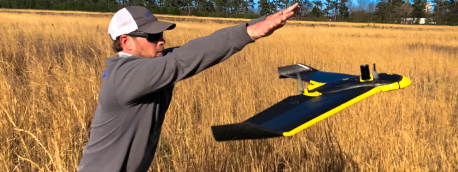
Surveying was one of the first services that Lowe Engineers offered in 1957, and our survey department has come a long way from its origins. Surveying continues to be one of our most robust services and our project managers and crews have broad experience with projects throughout the world. Our teams use cutting edge technology and equipment to perform geodetic, topographic, and hydrographic surveys in a variety of capacities. We can mobilize multiple crews, all trained and experienced in the development of plats, surveys on interactive graphics systems, 3D Laser Scanning and Global Positioning Systems (GPS) survey tools.
Our Surveying capabilities include:
