Small Unmanned Aerial System

Small Unmanned Aerial System (sUAS) technology is an emerging science that has become incredibly relevant to our industry. Our ability to put a sensor, whether that be a camera or LiDAR unit, onboard an aircraft remotely controlled from the ground has become something that we do in day-to-day operations. The accuracy that it is capable of achieving has become precise enough to use the data to check conventional methods. Whether it is from a fixed-wing platform to a rotary-wing quadcopter, the sUAS world changes on a day-to-day, week-to-week basis.
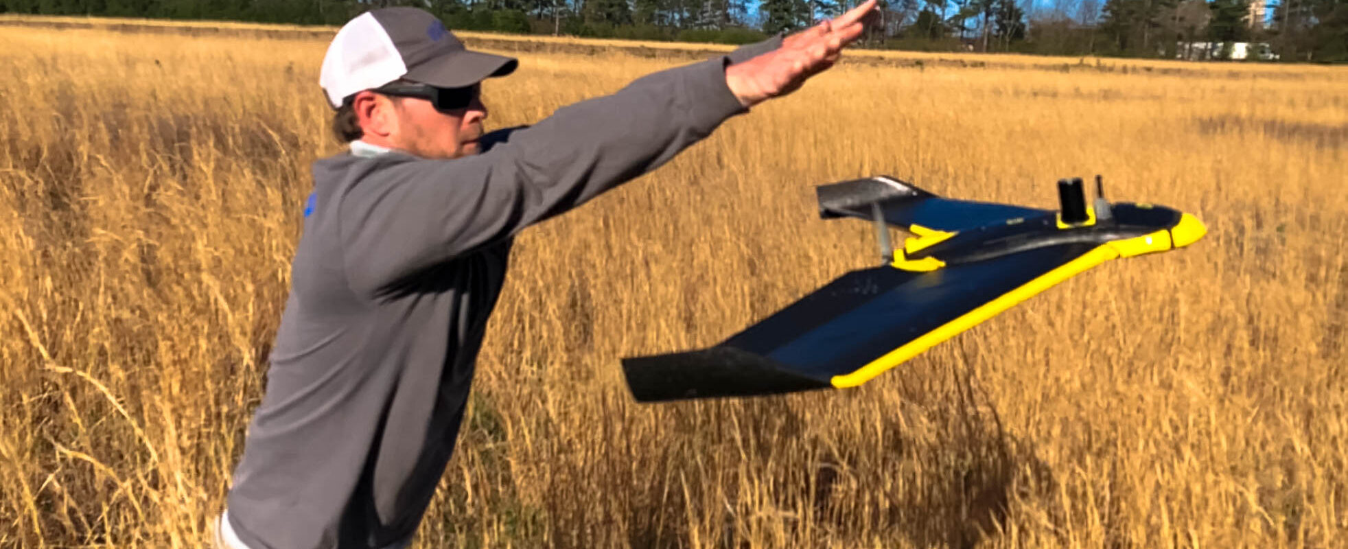
Lowe Engineers had the opportunity to get into the arena about three years ago. We purchased the Sensefly eBee, RTK version capable of centimeter accuracies out of the box. Our system is dependent upon GPS satellites as well as ground-based units outputting corrections that allow for each photo center to be georeferenced within a tenth of a foot. The data is then used during the processing of the images to perform aerial triangulation of the photos to create an overall ortho mosaic. From there, a point cloud is produced to create contours from. We’ve mapped thousands of acres and successfully flown hundreds of missions here and abroad.
Lowe uses a small Unmanned Aerial System (sUAS) to perform field surveys and mapping. The EBee RTK sUAS, made by SenseFly, was developed for professional mapping. The 1.5 lb sUAS uses a rear mounted propeller, covers 4.6 square miles in a single flight, and can acquire accurate images down to 1.5 cm/pixels while flying at a low altitude. The sUAS flies at between 25 – 56 mph and in winds of up to 28 mph.
A flight plan can be visualized before flying and aerial photos are translated into accurate 2D orthomosaics and 3D models utilizing professional photogrammetry software.
The Lowe sUAS has onboard RTK GPS which allows the sUAS to take aerial imagery and each image frame in control to NAD83/NAVD88 by default, but the data can also be controlled to a local horizontal and vertical datum if necessary. The sUAS imagery is flown using normal aerial imagery software and ground controlled by the RTK GPS system software performs aerial triangulation of the flown imagery and each pixel of imagery is rectified to survey-grade accuracy. This process and state of the art equipment allows Lowe Engineers to complete field survey grade data extremely quickly, safely and accurately.