
Hydrographic Surveying
Project Spotlight
[popup_trigger id=”2629″ tag=”span”]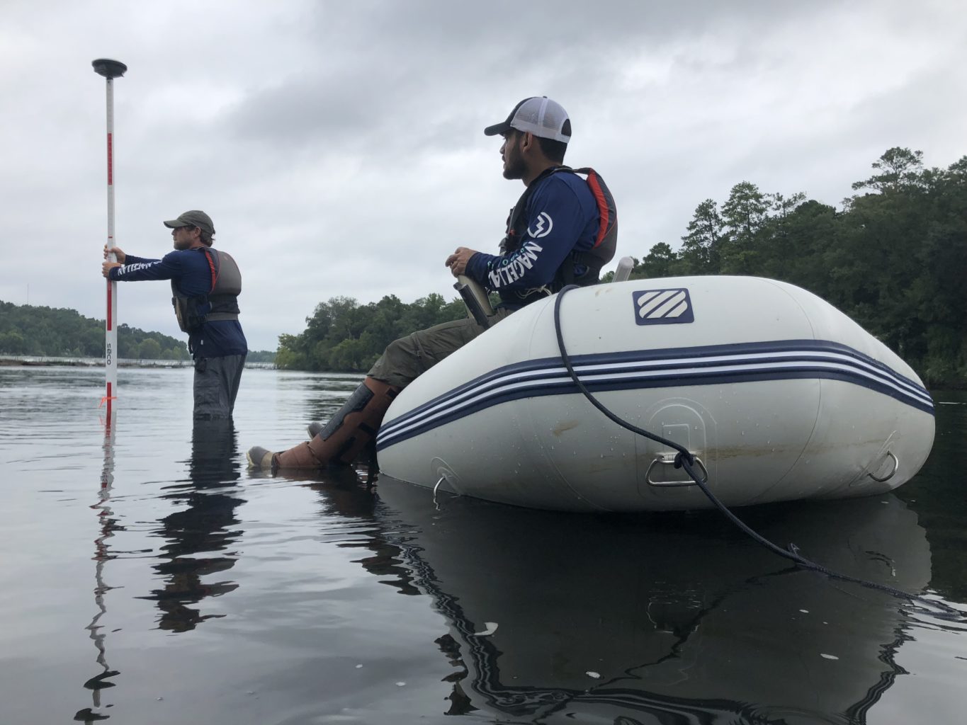
Lake Lanier, Buford, GA[/popup_trigger]
[popup_trigger id=”2637″ tag=”span”]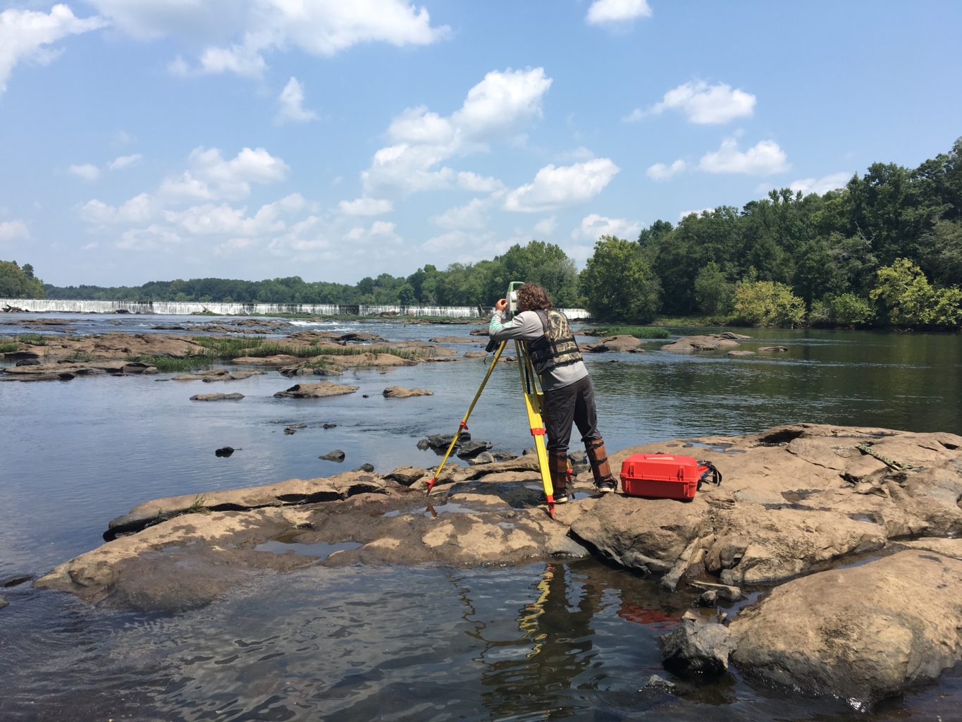
Georgia Power – Langdale Dam, Valley, AL[/popup_trigger]
[popup_trigger id=”2640″ tag=”span”]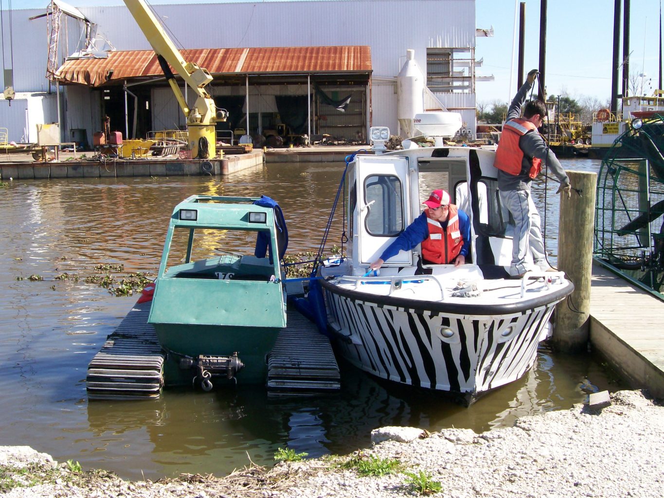
Amite and Comite Rivers, Denham Springs, LA[/popup_trigger]