Survey of Jamaican Property

PROJECT LOCATION
Negril, Jamaica
PROJECT DATE
2024
This project showcases Lowe Engineers’ commitment to innovative solutions, environmental stewardship, and international collaboration. By leveraging advanced LiDAR technology and unmanned aerial systems, we minimized environmental impact while delivering highly accurate survey data.
Lowe Engineers is proud to present an innovative surveying project conducted on the Caribbean island of Jamaica, in partnership with Jacobsen Daniels—an architectural firm specializing in airport design worldwide. Our survey crew dedicated several weeks to preparing for a job that would take them into uncharted territory, demonstrating exceptional expertise, collaboration, and technological innovation.
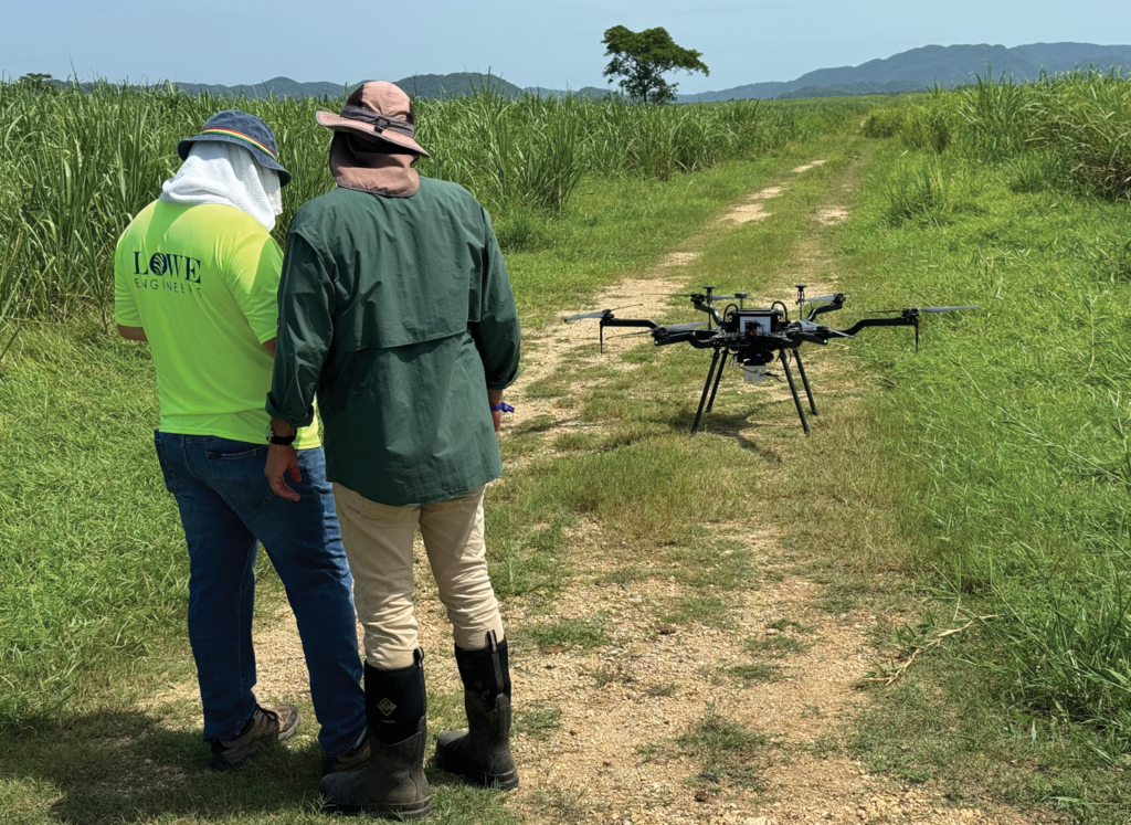
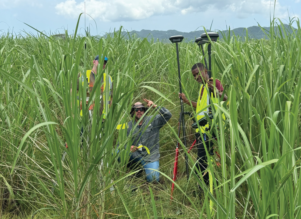
Operations of this nature required cooperation from several governmental agencies. Once all parties were notified, arrangements were made for a three-person survey team to commence field efforts to survey over 1,200 acres on the island. Given that the survey involved the use of a small unmanned aerial system (sUAS), extra notifications were provided to the governing organizations. The majority of the land to be surveyed was densely covered in sugar cane. Our survey crews were instructed to minimize their impact on the crop. To achieve this, we employed innovative technology in the form of Light Detection and Ranging (LiDAR) and used the sUAS for this project comprised the Velodyne HDL-32E LiDAR sensor and an array of GPS sensors, all onboard the six-bladed “Carrier H6 Electric”—a heavy-lift hexacopter.


