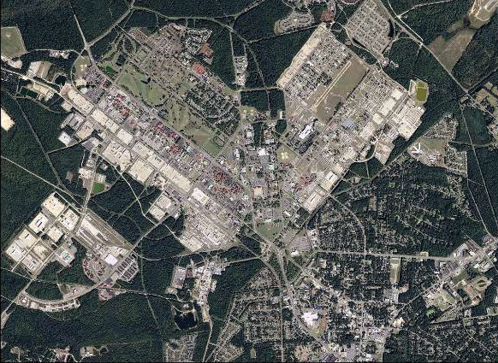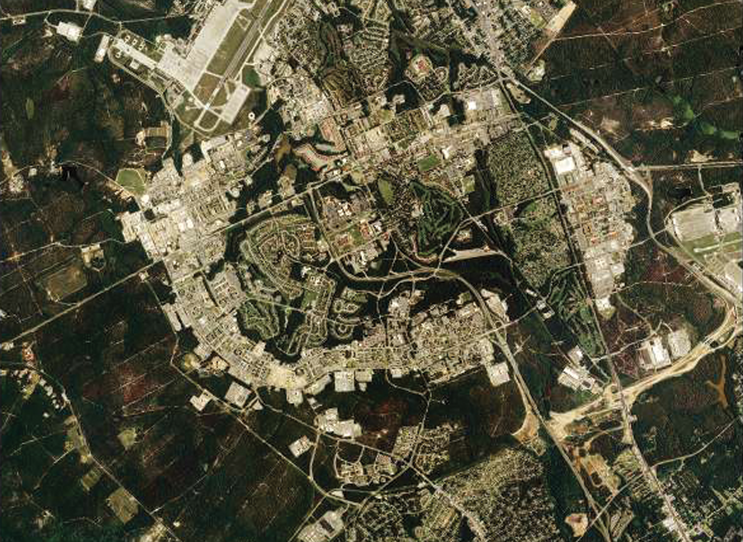

GEOSPATIAL
Lowe Engineers offers comprehensive geospatial services that utilize advanced technologies such as GPS, GIS, LiDAR, and drone surveying to deliver precise, accurate, and actionable spatial data. These services support a wide range of industries, including transportation, utilities, land development, and environmental management. By integrating geospatial data with decision-making processes, Lowe Engineers helps clients improve efficiency, optimize resources, and achieve better outcomes for their projects.
GIS Mapping and Analysis Creation of detailed maps and spatial analyses to support project planning, asset management, and environmental assessments
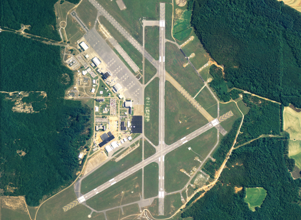
Aerial LiDAR
Collection of LiDAR data from aircraft or drones to generate detailed 3D models of landscapes, buildings, and infrastructure over large areas.
Photogrammetry
Use of drone imagery to create 3D models and topographic maps for accurate site assessments, volume calculations, and project planning.
GIS Data Collection and Management: Collection, storage, and management of geospatial data for various applications, including infrastructure management, land use planning, and environmental monitoring.