fort Bragg multiple range complex
PROJECT LOCATION
Fort Bragg, NC
PROJECT DATE
2011
Now Fort Liberty (Formerly Fort Bragg)Lowe also performed survey work with electronic equipment and the survey data was supplied in NAD83 State Plane Coordinates and NAVD88 for vertical.
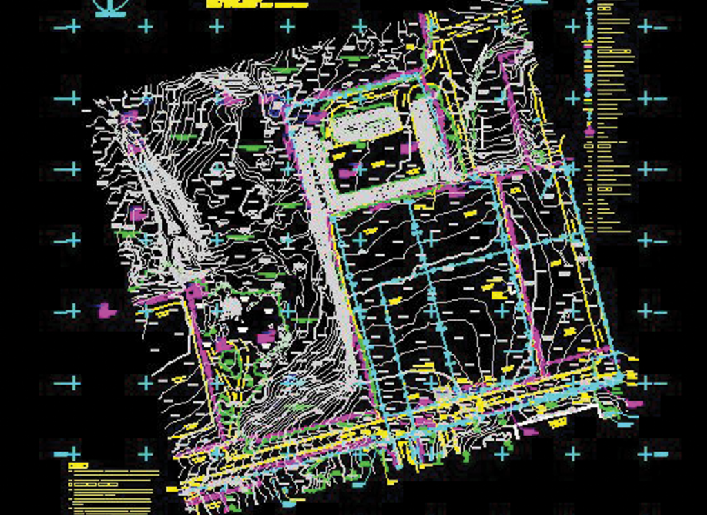
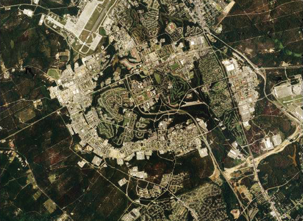
Lowe provided digital mapping and topographic survey of the multipurpose range complex at Ft. Bragg, North Carolina. The work included establishing geodetic horizontal and vertical ground control using GPS methods, digitizing existing information, photogrammetric mapping, field verification, and generation of topo maps. The survey provided topo maps of approximately 2,000 acres at a scale of 1”=50 feet and shows each one-foot contour. All of the topo maps and geodetic control were referenced to the North Carolina State Plane Coordinate System and North American Datum of 1983 (NAD83), and the North American Vertical Datum of 1988 (NAVD88). The final data was in 3-D design files furnished to the client in digital (Intergraph) format.