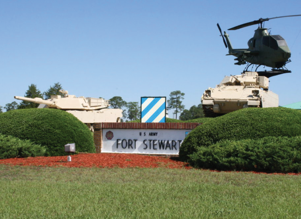
fort stewart MULTIPLE Range and Courses
PROJECT LOCATION
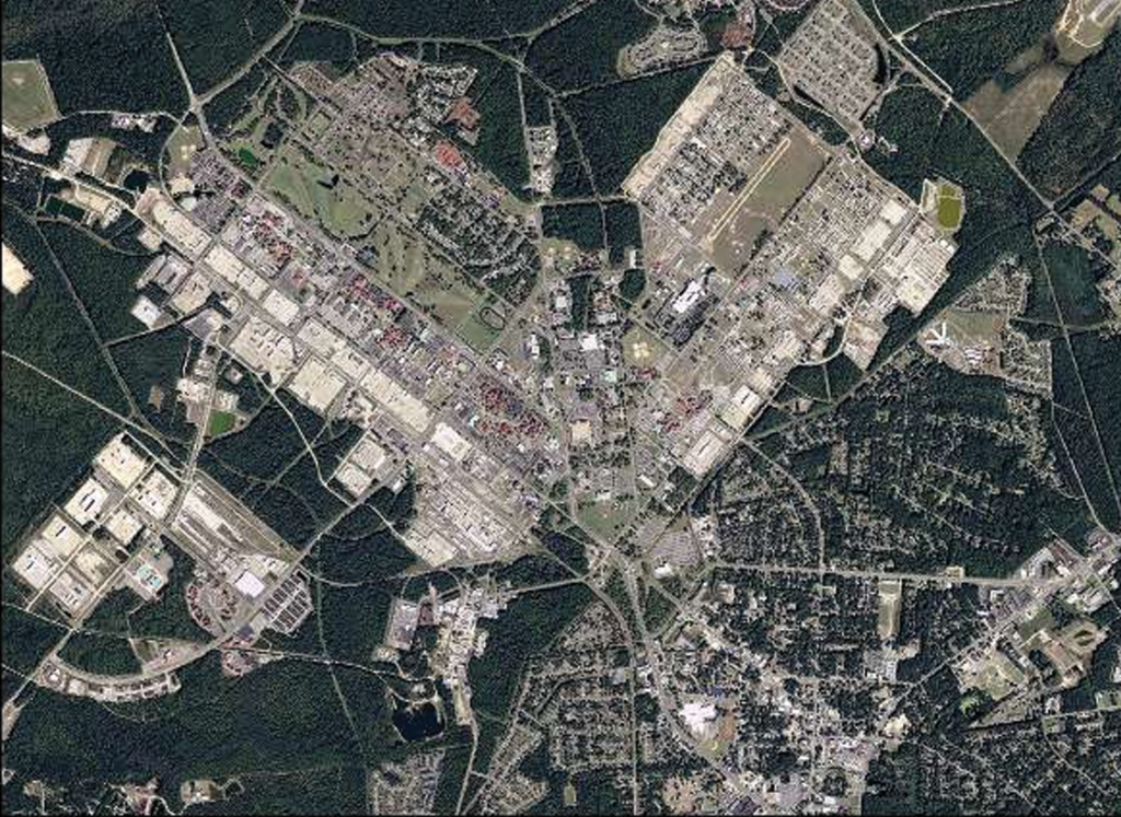
Fort Stewart, GA
PROJECT DATE
2006
Lowe also performed survey work with electronic equipment and the survey data was supplied in NAD83 State Plane Coordinates and NAVD88 for vertical.
Lowe performed surveying and mapping to assist Polyengineering with the design of the Infantry Platoon Battle Course (IPBC) – 250 acres, Multipurpose Machine Gun (MPMG) – 460 acres, and Modified Record Fire Range (MRF) – 71 acres. New color aerial photography was collected. Mapping and digital orthos were prepared. All data was prepared on the State Plane Coordinate System required at Ft. Stewart. Ground surveys were combined with aerial mapping to reduce overall costs and save time. Survey crews also had to move between sites when the ranges were not in use and were required to collect data with unexploded ordnance escorts. This task order was completed ahead of schedule with as many as 10 survey crews working at once.