csx railroad bridge survey

PROJECT LOCATION
Rigolets, LA
PROJECT DATE
2023
This kind of survey was essential for maintaining the safety and efficiency of both the Rigolets Bridge and the CSX Railroad, ensuring smooth transportation operations and safeguarding the infrastructure from environmental and structural challenges.
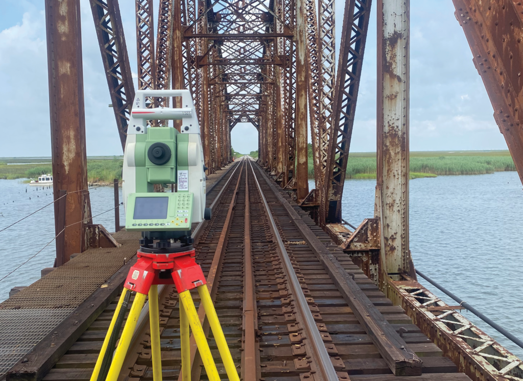
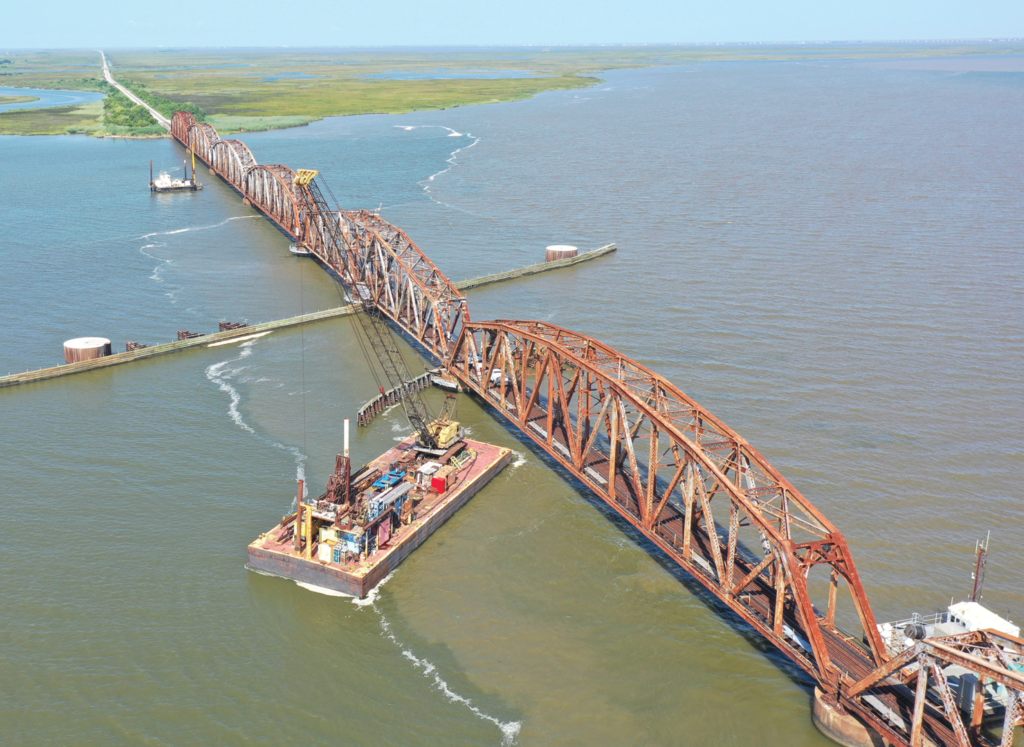
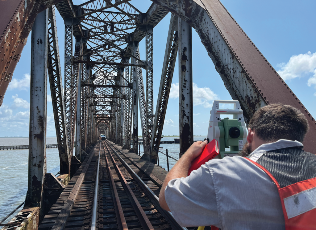
Lowe Engineers was tasked with collecting topographic and hydrographic data of an existing railroad bridge crossing. RTK Base Rovers were used to collect topographic data in areas not affected by overhead bridge structures. Conventional survey methods were used in areas GPS would not allow. LiDAR data was collected across the bridge to pick up overhead bridge data. Crews performed a high-precision single-beam hydrographic survey of the area with a minimum 3’ water depth using a bow-mounted ODOM 3-degree transducer and Hypack software. RTK water bottom shots were also collected with the survey limits as a check for single-beam system performance. Sound velocity measurements were taken through the water column within the survey limits. The collected single-beam data was post-processed and checked against the previously collected RTK water bottom shots.
LiDAR data was collected with the assistance of a drone. We used the DJI Matrice 600-series with a Velodyne LiDAR unit. For control and point-cloud adjustment, we set targets along both sides of the bridge at a distance no longer than 500’. We also collected GPS static readings at a speed of 5 hertz (0.2 seconds) for a minimum of 2 hours. This GPS static was then processed through OPUS and used to assist us in the point-cloud creation procedure. After field work was completed, we used Inertial Explorer and Scanlook PC, two programs that, when combined, provide a georeferenced and adjusted point cloud (LAZ or LAS file). Once we had the LAS or LAZ file, we ran some quick checks with the help of a program called Global Mapper. The last step was data extraction. For this, we used TopoDOT, an application that works inside MicroStation that is used to import and extract 3D models from point clouds.


